A contour line joins places at the same height, and a map with them shows a 3D shape on flat paper.
- Shelf
- Science
- Kind
- Built from a recipe
- Your own
- About these contours
- Sound
- Yes
- Licenses
- Public domain
How to play, in the Playground
Tap to pull the layers apart; tap again to stack them. Pick a place in the Splash tab.
Its controls
| Control | Kind | Range | Start |
|---|---|---|---|
| Pull the layers apart | Tap | ||
| Pull the layers apart | Switch | Off | |
| Place | List | 3 choices | Mount St. Helens |
| Height | List | 3 choices | Stretched 2× |
About it
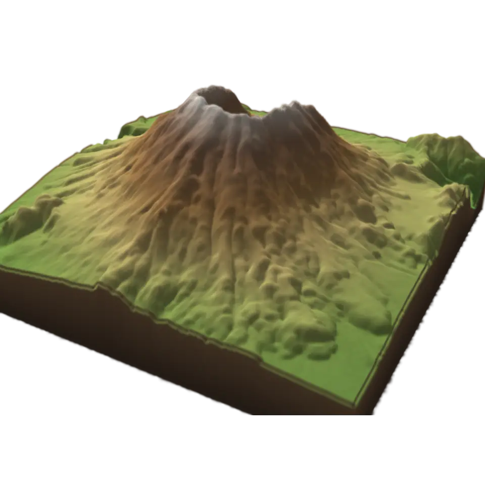
A contour line joins places at the same height, and a map with them shows a 3D shape on flat paper. This lab cuts real land into layers, one for each step of height, so you can see where the lines come from.
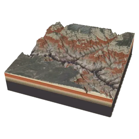
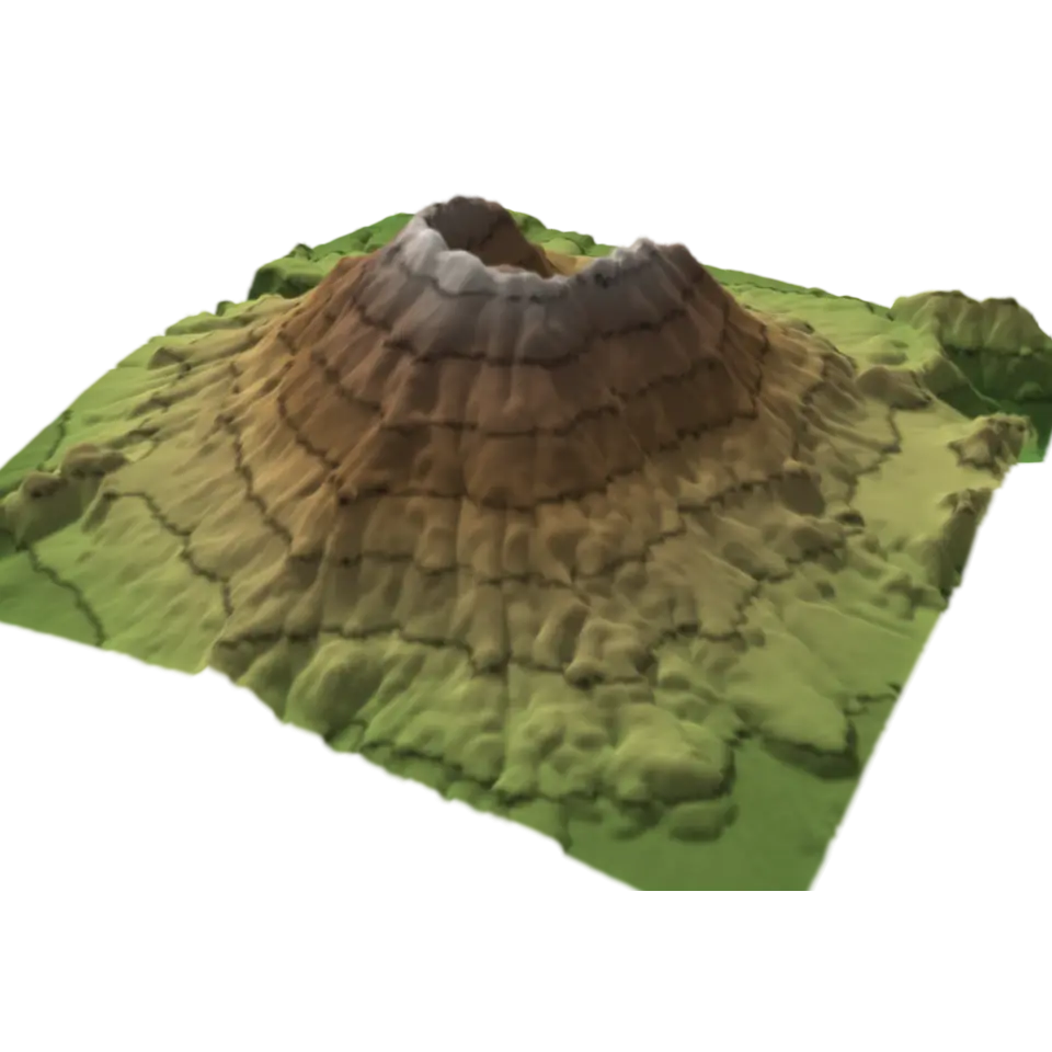
The land is measured: the U.S. Geological Survey's elevation data for Mount St. Helens, the Grand Canyon or Yosemite Valley, about 35 m between samples. Each layer's edge is a contour line. Tap to lift the layers apart and see each edge on its own; seen from straight above, the edges are the nested rings of a contour map. Lines close together mean steep ground; far apart, gentle. Choose the place and how much the heights are stretched.
Sources and credits
| Work | By | License |
|---|---|---|
| Mount St. Helens: USGS 3DEP 1/3 arc-second elevation, a square averaged to 256 × 256 samples | U.S. Geological Survey, 3D Elevation Program (The National Map) | Public domain (USGS 3D Elevation Program) |
| The Grand Canyon: USGS 3DEP 1/3 arc-second elevation, a square averaged to 256 × 256 samples | U.S. Geological Survey, 3D Elevation Program (The National Map) | Public domain (USGS 3D Elevation Program) |
| Yosemite Valley and Half Dome: USGS 3DEP 1/3 arc-second elevation, a square averaged to 256 × 256 samples | U.S. Geological Survey, 3D Elevation Program (The National Map) | Public domain (USGS 3D Elevation Program) |